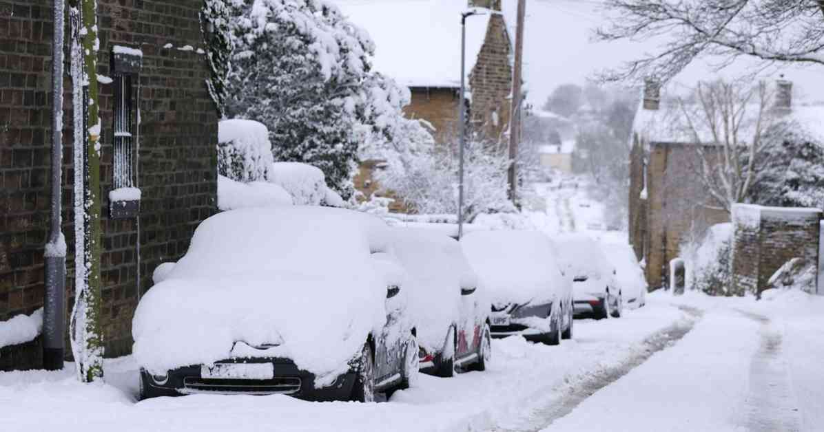
The Met Office has issued a Yellow snow and ice warning for five areas at the start of the week. It issued a new update at around 11am on Saturday. It said the Central, Tayside and Fife, Grampian, Highlands and Eilean Siar, Strathclyde and SW Scotland and Lothian Borders should brace for snow on Monday and Tuesday. Snow is predicted to arrive across the areas on Monday at around midnight and it will persist until Tuesday at 11pm. “This warning was originally issued as a dual warning for rain and snow,” is the reason for the update, as stated by the Met Office. It went on: “Now a combined rain and snow warning, with increasing confidence in rainfall impacts across west-central Scotland, and snow in the north and east. Southern extent trimmed northward. Heavy rain will become persistent and widespread during Monday and Tuesday. “Widespread totals of 50 to 70mm are possible over the two days with some places perhaps seeing 100 to 140mm of rain, these higher totals most likely over western Scotland. North and east of (and including) Perthshire, precipitation is likely to fall as snow, especially over high ground, with 10-20cm accumulating above 150-200 meters, with several cm accumulating at lower elevations away from windward coasts. “As milder air pushes in, snow will turn back to rain, and any rapid snow melt will contribute to flooding in places. Strong winds may exacerbate impacts, particularly across the areas of Scotland affected by snow. Blizzard conditions are possible, especially over high ground and across much of Sutherland and Caithness. Powerline icing is possible where blizzard conditions occur.” What to expect The Met Office said homes and businesses could be flooded, causing damage to some buildings. There could be delays or cancellations to train and bus services. Spray and flooding will lead to difficult driving conditions and some road closures, with longer journey times by road, bus and train services. Some communities may be cut off and fast flowing or deep floodwater is possible, causing a danger to life. Power cuts may occur and other services, such as mobile phone coverage, may be affected. What should you do? Check if your property could be at risk of flooding. If so, consider preparing a flood plan and an emergency flood kit. Give yourself the best chance of avoiding delays by checking road conditions if driving, or bus and train timetables, amending your travel plans if necessary. People cope better with power cuts when they have prepared for them in advance. It’s easy to do; consider gathering torches and batteries, a mobile phone power pack and other essential items. Snowy, wintry weather can cause delays and make driving conditions dangerous, so to keep yourself and others safe: plan your route, checking for delays and road closures, amending your travel plans if necessary; if driving, leave more time to prepare and check your car before setting off; make sure you have essentials packed in your car in the event of any delays (warm clothing, food, water, a blanket, a torch, ice scraper/de-icer, a warning triangle, high visibility vest and an in-car phone charger). Be prepared for weather warnings to change quickly: when a weather warning is issued, the Met Office recommends staying up to date with the weather forecast in your area. For further details see https://www.metoffice.gov.uk/weather/warnings-and-advice/uk-warnings. What is a yellow weather warning? The Met Office has three categories of weather warning, depending on the likely impact of severe weather and also how likely it is to strike in a particular area. A yellow warning is issued when weather conditions are expected to disrupt travel and traffic and may impact on daily routines but are not likely to pose a risk to life or property. An amber warning is more severe and advises people to think about changing their plans to minimise the risk. A red warning means weather conditions are expected to be dangerous with widespread damage to property and a risk to life, with the public usually advised to avoid travelling. The Yellow weather alert for snow and ice will remain in place until 11pm on Tuesday.
Snowfall Forecast: Met Office Issues Yellow Weather Warning for Five Areas
770


