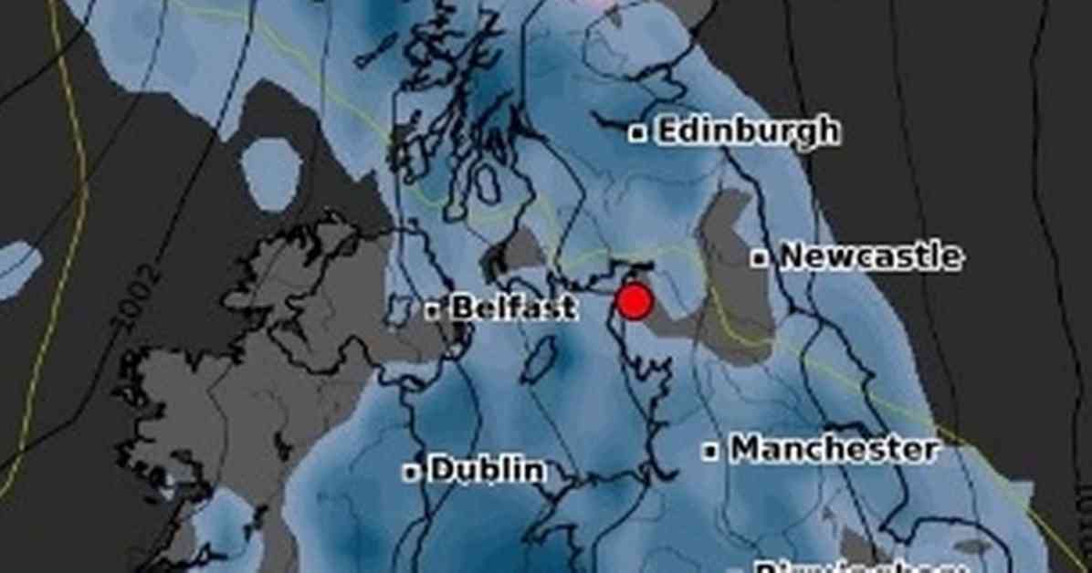
A heavy blanket of snow is expected to cover half of Britain in the next few days, with weather maps showing that snowfall could reach up to 2cm per hour in certain areas. The latest data from WX Charts indicates that temperatures will drop significantly on November 7, with Scotland likely to be the most affected region. Places like Wick, Inverness, and Aberdeen are forecasted to experience the heaviest snowfall, with rates of 1-2cm per hour.
The Mirror reported that some UK towns were already warned to brace themselves for a 150-mile-long snowstorm during the Halloween weekend, particularly in northwest Scotland. Towns like Talmine, Tongue, Lairg, Ullapool, Dingwall, Garve, Fort Augustus, and Mallaig are directly in the path of the snowstorm. The BBC’s Weather team mentioned that there is still some uncertainty in the long-range weather models, but conditions are expected to become more unsettled and windy in the coming days, with temperatures decreasing rapidly.
Meteorologists from the Met Office have highlighted a significant shift in Britain’s weather as we approach mid-November. There could be a movement of high pressure from the continent towards the north or northwest of the UK, which might allow areas of low pressure to bring rain or showers to southern regions. This means that after a dry start in the south and east, these areas could experience wetter conditions, while northwestern areas, which had a wet start, might see drier weather.
The Met Office also mentioned that temperatures are likely to be around average for this period, with the possibility of some colder interludes. Overall, the weather outlook for the next few weeks is expected to be unsettled and wet in the south, while the northwestern regions may see drier conditions. Stay tuned for further updates on the changing weather patterns across the country.


